Skip to content
Services
Consulting
Architecture & technology roadmap
Redesign & refactoring
Performances, optimizations, profiling
CI/CD
Security workshops
Test strategy
Development
Embedded software
Firmware
IoT connectivity
Qt
Embedded system applications
Maintenance & security
CVE scanner
Long term support
Risk assessment & security mechanisms
ON-DEMAND RESOURCES
Consulting
Software development services overview
Software security & maintenance services
On-demand engineering resources
Expertise
Technical Expertise
Methods & Processes
Spotlight on
Edge AI
BSP Development & Catalog
Zephyr RTOS
Cyber Resilience Act (CRA)
LEARN
Embedded Software
Applications & GUI
IoT Platform
Embedded software
Industry
Medical
Industrial Machinery
Off-Highway Vehicles
Energy
Home appliances
Case Studies
Company
About us
Code of Conduct
Join us
Partners
Resources
Blog
Guides & eBooks
Webinars
Newsletter
Off-Highway Magazine
About us
Join us
Partner
English
Français
Deutsch
Contact us
Resources
Case Studies
Stories of embedded, IoT, and industrial systems, straight from the engineers who built them.
About us
Get in touch
NEWSLETTER
Advanced UI development and connectivity for a new range of Saeco connected coffee machines
Home appliances
Technical Expertise
All
Applications / GUI
CI/CD
Cybersecurity
Edge AI
Firmware
IoT Connectivity
Refactoring / Architecture
Trixell x Witekio: 15 Years of Partnership
Medical Equipment
Building a Scalable Yocto HMI Platform for Industrial Equipment
Industrial Equipment
Helping TeleAlarm Build Secure, Connected Healthcare Devices
Medical devices
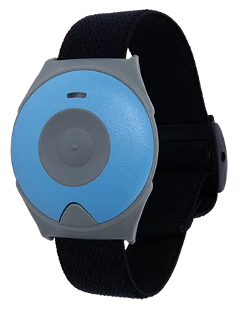
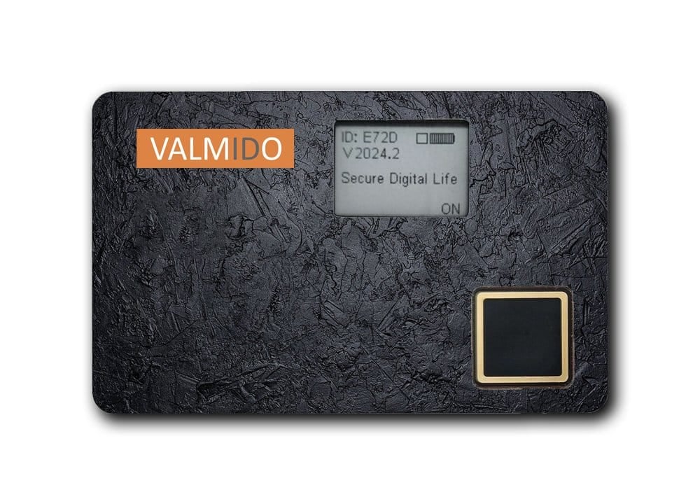
Accelerating Development of Profido—A Secure Wireless Authentication Device
Electronics manufacturing
Delivering Unified Power Management Solutions
Electronics manufacturing
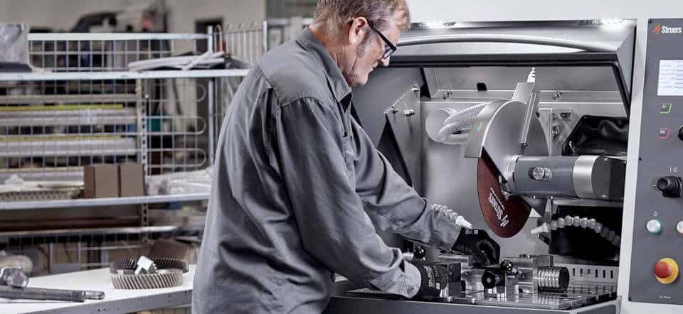
Accelerating Automation with Tria Technologies
Electronics manufacturing
AI-Driven Automation for Corporate Meeting Video Capture
IT Services
UX/UI Consulting, Web Application Development, IO Radio Protocol and more for a Building Automation giant.
Electronics manufacturing
Complete support from app development to Cloud Connectivity expertise.
Manufacturing
Page
1
Page
2
Page
3
Newsletters
Signup